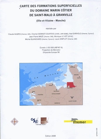
Carte des formations superficielles du domaine marin côtier de l'anse de Saint-Malo à Granville (Ille et vilaine - manche) Echelle 1/50 000
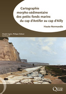
Cartographie morpho-sédimentaire des petits fonds marins du cap d’Antifer au cap d’Ailly Haute-Normandie
Carte papier 45,00 €
Atlas géologique de la baie de Lannion Côtes d'Armor - Finistère
Livre papier 50,70 €
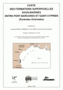
Carte des formations superficielles sous-marines entre Port-Barcarès et Saint-Cyprien (Pyrénées-Orientales) Échelle : 1/20 000 - Carte pliée
Carte papier 38,70 €
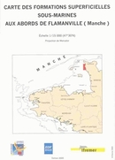
Carte des formations superficielles sous-marines aux abords de Flamanville (Manche) Échelle : 1/15 000 - Carte pliée
Carte papier 12,20 €
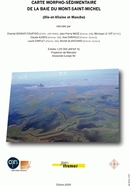
Carte morpho-sédimentaire de la baie du Mont-Saint-Michel Ille-et-Vilaine et Manche
Chantal Bonnot-Courtois, Michel Blanchard, Laure Simplet, Monique Le Vot, Axel Ehrhold, Claude Augris, Jean-Pierre Mazé
Carte papier 15,20 €
Cartographie morpho-sédimentaire des petits fonds marins du cap d’Antifer au cap d’Ailly Haute-Normandie
Carte papier 45,00 €
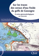
Sur les traces des coraux d'eau froide du golfe de Gascogne 8 cartes géomorphologiques au 1/100 000
Jean-François Bourillet, Laurent de Chambure, Benoit Loubrieu
Carte papier 50,00 €
Carte des formations superficielles sous-marines entre Port-Barcarès et Saint-Cyprien (Pyrénées-Orientales) Échelle : 1/20 000 - Carte pliée
Carte papier 38,70 €
Carte des formations superficielles sous-marines aux abords de Flamanville (Manche) Échelle : 1/15 000 - Carte pliée
Carte papier 12,20 €
Carte morpho-sédimentaire de la baie du Mont-Saint-Michel Ille-et-Vilaine et Manche
Chantal Bonnot-Courtois, Michel Blanchard, Laure Simplet, Monique Le Vot, Axel Ehrhold, Claude Augris, Jean-Pierre Mazé
Carte papier 15,20 €
Le domaine marin côtier du Pays basque (Pyrénées-Atlantiques) Carte morpho-bathymétrique et carte des formations superficielles. Échelle : 1/20 000 - 4 cartes pliées + notice, sous pochette
Carte papier 49,50 €
Etude des sédiments superficiels marins, des herbiers à phanérogames et des peuplements à Caulerpa taxifolia de Menton à Cap-d'Ail Echelle : 1/7 500 - 3 cartes pliées ou à plat + notice, sous pochette
Thomas Belsher, Eric Houlgatte
Carte papier 54,10 €
Caractéristiques
Langue(s) : Français
Editeur : Ifremer
Edition : 1ère édition
Collection : Atlas & cartes
Publication : 16 juin 2008
Référence Carte papier : IF0801
EAN13 Carte papier : 9782844331595
Format (en mm) Carte papier : [NR]
Nombre de pages Carte papier : 0
Poids (en grammes) : 110


